Indian Railways turns to satellites for relief, catch wrongdoers; here is how
The MOU, signed between Ministry of Railways and ISRO, would also facilitate mutual cooperation in various phases. After development of GIS portal, it may be possible to identify new encroachment all around station by comparing the images of Satellite Imagery which are updated by ISRO after a regular interval, it added.
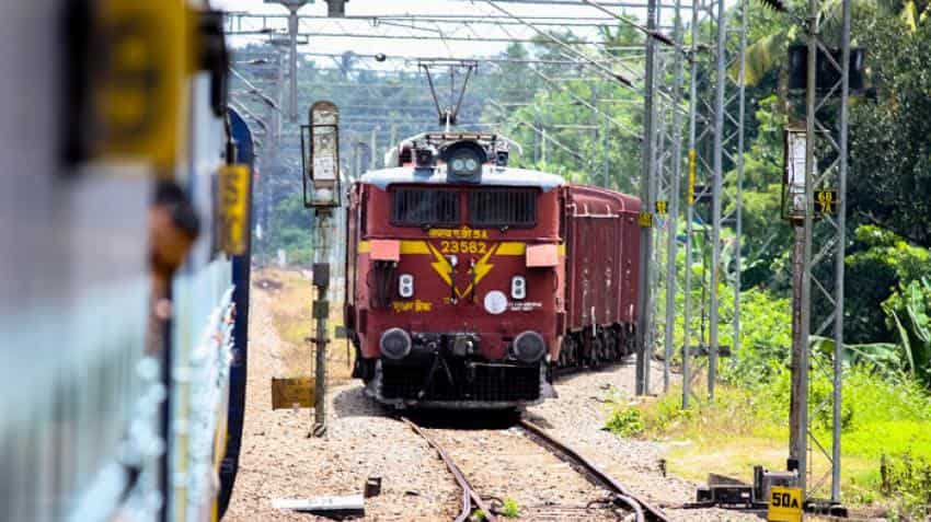
Indian Railways is planning to use GIS portal to observe and protect its large number of assets including land assets that need to be effectively monitored, managed and maintained. Image source: Reuters




 How to change name and date on booked train ticket: Eligibility, rules, and process explained
 Maha Kumbh 2025: As India prepares for grand event, Railways spends over Rs 5,000 crore in 2 years; 3,000 special trains on the cards
 PM Modi's focus is on improving services for general coach passengers: Railway minister
 Indian Railways rakes in Rs 12,159 crore from festive rush
 Union Cabinet gives nod to Rs 7,927-crore railway projects